Part 3
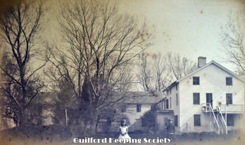
P-3754.
View of two barns at Samuel Stone House. #132 Three Mile Course CHARLES D HUBBARD Negative CDH 148. Charles Hubbard scrapbook pg 32.
P-3757.
No description CHARLES D HUBBARD Charles Hubbard scrapbook pg 36.
P-3760.
Blatchley’s Pond Nut Plains. Blatchley’s Pond, now gone, was in the headwater of East River, in the rear of #1001 Goose Lane (Lower Nut Plains). CHARLES D HUBBARD scrapbook pg 48.
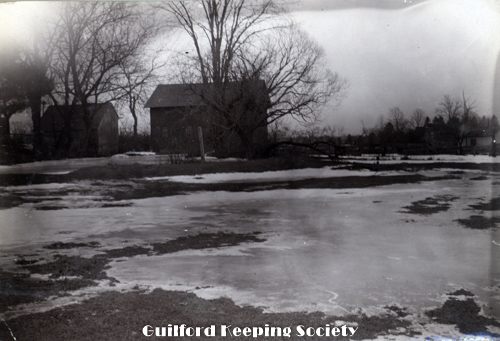
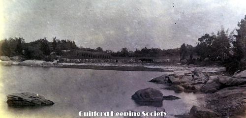
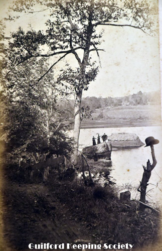
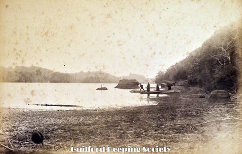
P-3763.
North Guilford. Barn and river CHARLES D HUBBARD Negative CDH 41. Charles Hubbard scrapbook pg 49.
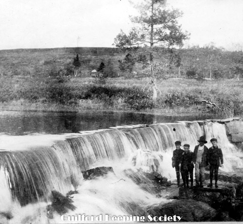
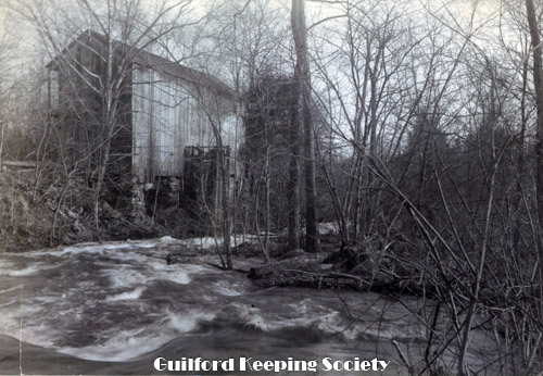
P-3766.
Sawmill Dam. 4 children standing in front of dam. CHARLES D HUBBARD Charles Hubbard scrapbook pg 50.
P-3770.
Caleb Dudley House Clapboard Hill 1763. Caleb Dudley III house c. 1764 212 Clapboard Hill Rd CHARLES D HUBBARD Negative CDH 261. Charles Hubbard scrapbook vol. 2 pg 10.
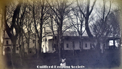
P-3791A
Park Street
P-3823
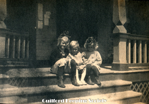
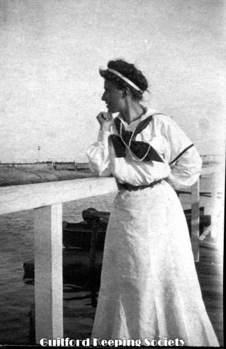
Guilford Point, 2 children at Guilford Point House May 1885 HARRIET HUNT BRYAN in Harriet Hunt Bryan vol. 2.
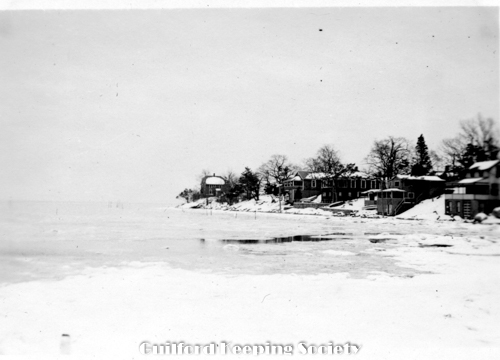
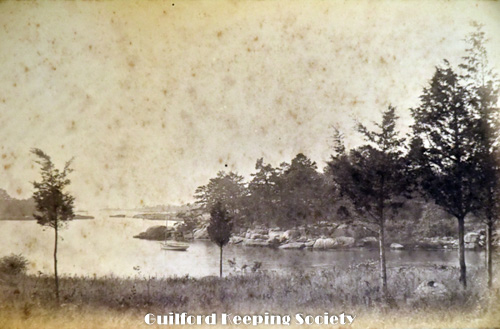
P-3827
Little Harbor, Leete’s Island HARRIET HUNT BRYAN in Harriet Hunt Bryan vol. 1,
P-3830
Old cherry tree, Cherry Farm, Leete’s Island, Conn John Morse house #172 Moose Hill Rd. back yard Nov 1884 HARRIET HUNT BRYAN in Harriet Hunt Bryan vol. 2.
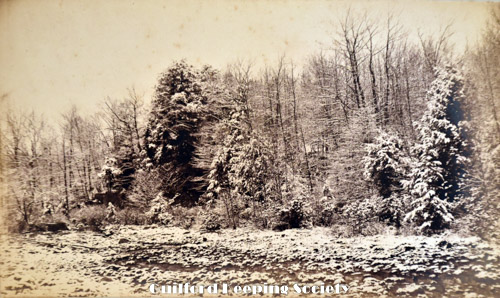
P-3833
April snow, Leete’s Island HARRIET HUNT BRYAN in Harriet Hunt Bryan vol. 2.
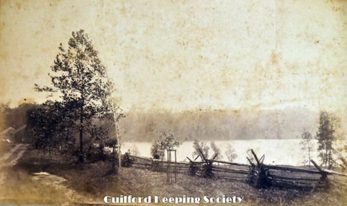
P-3836
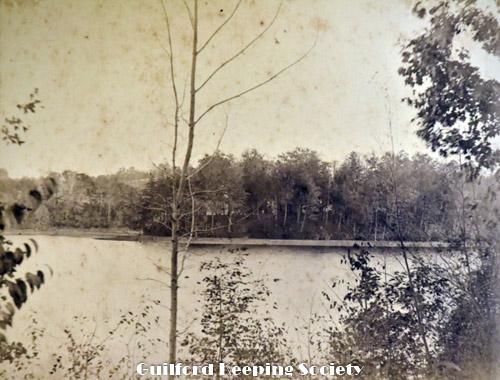
North Guilford, Quo. View across Lake Quonnipaug from Lake Side Drive. Two barns in background on left HARRIET HUNT BRYAN in Harriet Hunt Bryan vol. 2.
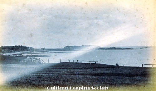
P-3839
Looking west from Guilford Point. Looking toward 2 houses and barn on Chaffinch Island. 1886 HARRIET HUNT BRYAN in Harriet Hunt Bryan vol. 2.
P-3842
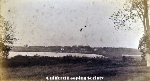
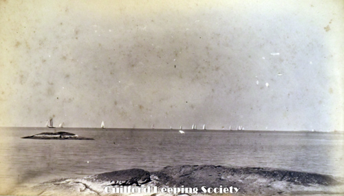
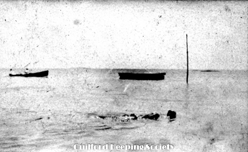
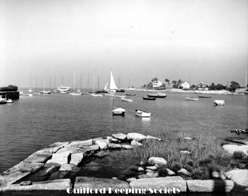
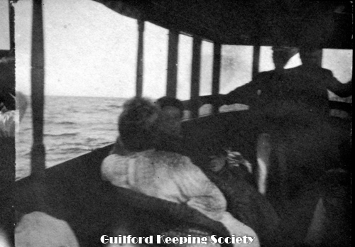
Sailboats on the water HARRIET HUNT BRYAN in Harriet Hunt Bryan vol. 2.
P-3845
Mary’s Island, Lake Quinnipaug HARRIET HUNT BRYAN in Harriet Hunt Bryan vol. 2, in Bryan vol. 2.
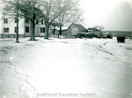
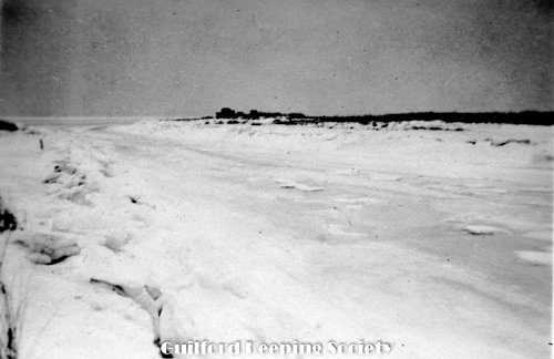
P-3958.
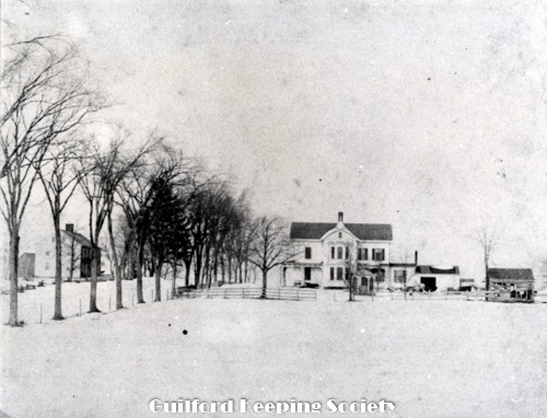
Blizzard 1888, Elm St numbers 146 and 131. WhyLands.
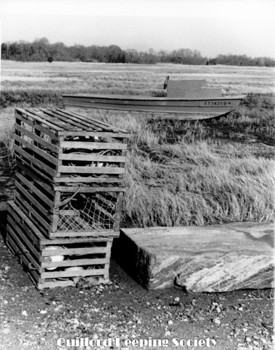
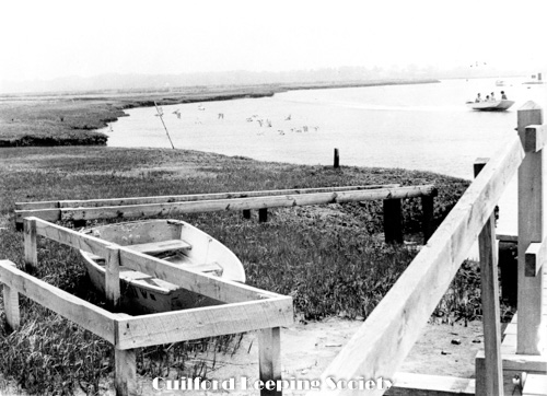
P-3968.
Lobster pots on saltwater marsh. Betty Dunn Collection for Shore Line Times c.1963-1975.
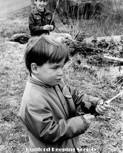
P-3971.
Boys fishing. Betty Dunn Collection for Shore Line Times c.1963-1975.
P-3974.
Bloody Cove Beach, circa 1940. Looking toward Vineyard Point, Sachem’s Head, with views of cottage on Vineyard Point c1940 6x9, 7x9.5.
P-3977.
Bloody Cove, Sachem’s Head from Vineyard Point. From Vineyard Point causeway looking west to Rockbound Cottage and Sachem’s Head Hotel on Falcon Rd 1938 8x10. Madison Historical Society Nov 10, 2008.
P-3981.
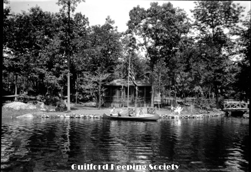
Guilford Lakes 119 Lakeside Dr. SWD 2331.
P-3985.
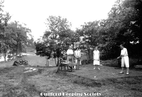
Guilford Lakes golfers preparing to tee off SWD 2317.
P-3988.
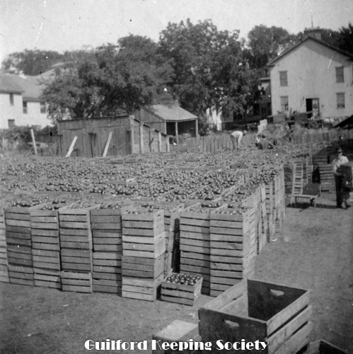
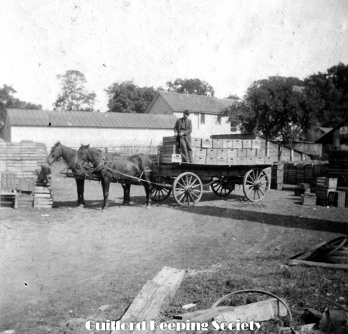
Rolf canning establishment (Rolf cull) August 1900.
P-3991.
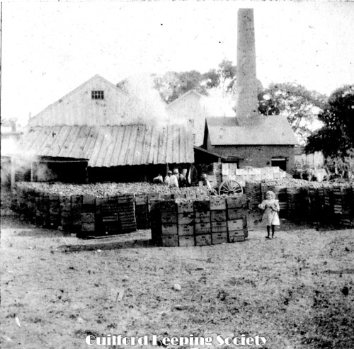
Rear of Sachem Head Canning Co #11 Water St (site of Town parking lot) (Rolf Coll) August 1900 see SWD 1891.
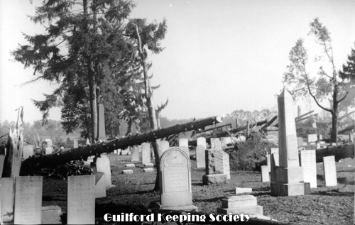
P-3994.
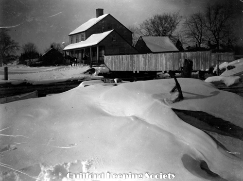
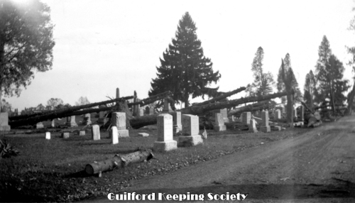
Alderbrook Cemetery Boston St (Hurricane damage 1938) from Madison Historical Society 11.10.08 Oct 1, 1938.
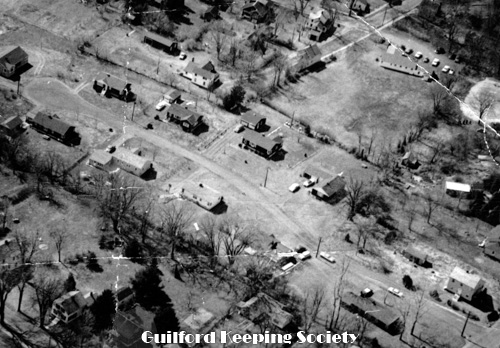
P-3997.
Ives Place cul de sac in center aerial view c1950-1960.
P-4000.
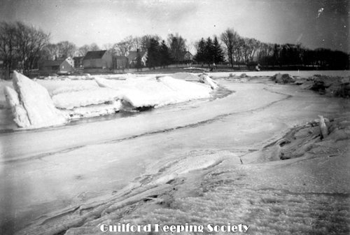
Indian Cove 1934 snowstorm (Rolf Coll.) 1934.
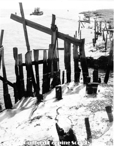
P-4003
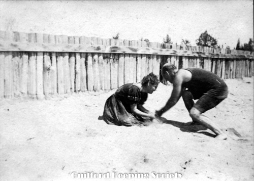
Bloody Cove Beach bulkhead fence of upended timbers replaced with stone after 1938 hurricane (1906) Sand in your eyes. Cantwell Coll.
P-4006.
Bloody Cove Sachems Head 1906. Cantwell Coll.
P-4009.
The Sherwood children at Sachems Head Hotel 125 Falcon Rd 1906. Cantwell Coll.
P-4012.
Sachems Head Hotel 125 Falcon Rd 1906. Cantwell Coll.
P-4015.
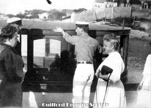
People in front of a boat. Cantwell Coll.
P-4018.
on rocks on west side of Bloody Cove Beach Sachems Head 1906. Cantwell Coll.
P-4021.
Mill Pond spillway. Negative SWD3460.
P-3755.
John Hodgkins House 1765 Dunk Rock Rd . According to Shelton Dudley this was Bert Hotchkiss’ father’s house CHARLES D HUBBARD Charles Hubbard scrapbook pg 32.
P-3758.
Tanner Marsh Rd CHARLES D HUBBARD Negative CDH 297. Charles Hubbard scrapbook pg 48.
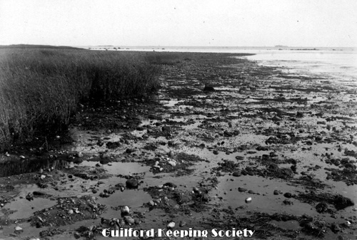
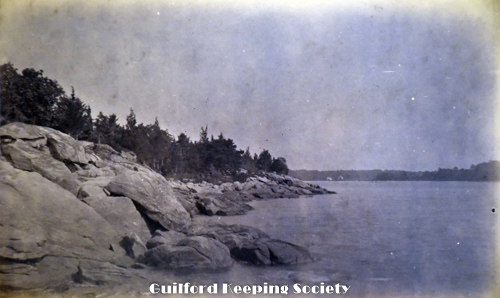
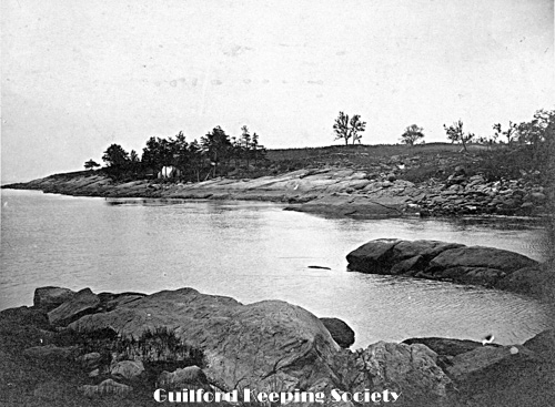
P-3761.
Clam Flats Faulkner’s Island on the Horizon. Perhaps taken on Grass Island CHARLES D HUBBARD Charles Hubbard scrapbook pg 48.
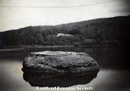
P-3764.
Boulder in Lake Quonnipaug North Guilford. Boulder near north end of lake, near Rt. 77 CHARLES D HUBBARD Charles Hubbard scrapbook pg 49.
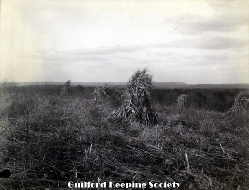
P-3767.
Bluff Head on horizon. Cornfield, looking north toward bluff Head in the distance. CHARLES D HUBBARD Charles Hubbard scrapbook pg 51.
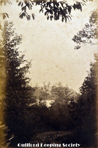
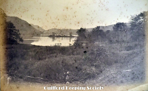
P-3773.
East side of Lake Quonnipaug looking toward Bluff Head East side of Quonnipaug with Bluff Head. Oct. 1885 HARRIET HUNT BRYAN Original is in Harriet Hunt boxes.
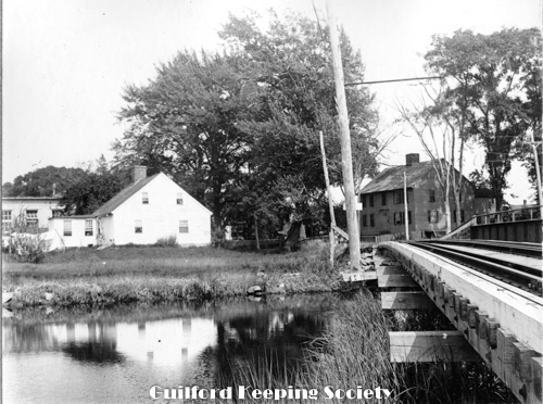
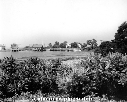
P-3791
Trolley bridge over West River. Looking east on Water St: Bille Willard house (left) on #25 Water St, Car Barn behind that and Town Poor House (Ebenezer Bartlett built 1728) on right. WALKER NETTLETON 1 duplicate.
P-3825
Guilford Point, Girl at Guilford Point house at end of Seaside Ave May 1885 HARRIET HUNT BRYAN in Harriet Hunt Bryan vol. 2.
P-3828
Looking west from Cedar Point, Leete’s Island, Ct. HARRIET HUNT BRYAN.
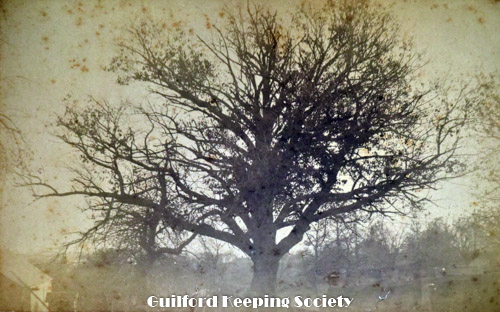
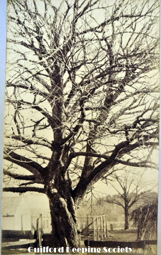
P-3831
Largest cherry tree in the United States Cherry Farm, Leete’s Island, Conn Planted by Capt. the place in 1791 of John Morse Yard of John Morse house c1758 #172 Moose Hill Rd 1884 or 1885 HARRIET HUNT BRYAN in Harriet Hunt Bryan vol. 2,
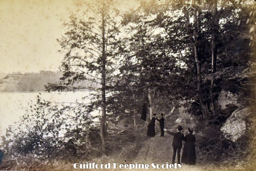
P-3834
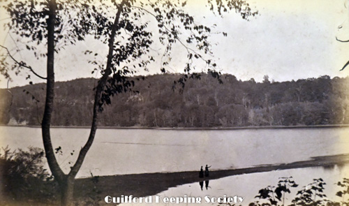
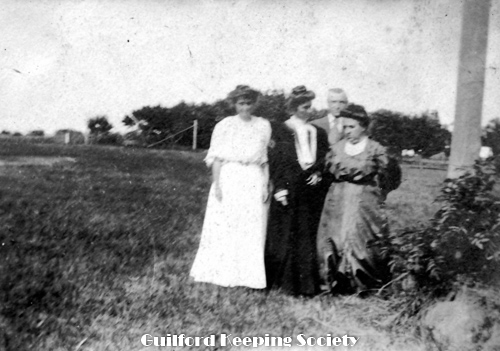
The Pilgrims at Quinnipaug. A man and three women on rock near Durham Rd in Lake Quonnipaug near north end of lake. HARRIET HUNT BRYAN in Harriet Hunt Bryan vol. 2.
P-3837
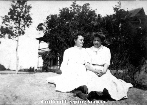
West side of the lake North Guilford. 2 men & 2 women on Route 77 Durham Rd. looking south with Lake Quonnipaug on the left HARRIET HUNT BRYAN in Harriet Hunt Bryan vol. 2.
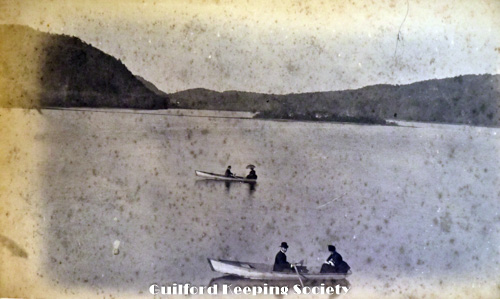
P-3840
Quinnipaug from Mary’s Island 2 men & 2 women in 2 rowboats on Lake Quonnipaug looking north HARRIET HUNT BRYAN in Harriet Hunt Bryan vol. 2.
P-3843
View of Quinnipaug from east side HARRIET HUNT BRYAN in Harriet Hunt Bryan vol. 2,
P-3852a
Looking north on Durham Rd., Route 77 Lake Quonnipaug on the right Pub. by Chares F. Hine Lake Quonipaug, North Guilford, CT. Donated by Branford Historical Society March 1988. Similar to P3852b. In oversized folder.
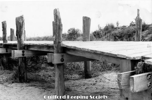
P-3966.
Wooden walkway. Betty Dunn Collection for Shore Line Times c.1963-1975.
P-3969.
Tugboat along winter shoreline. Betty Dunn Collection for Shore Line Times c.1963-1975.
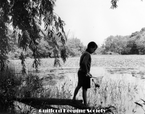
P-3972.
Mill Pond, boy with fishing net, North River St. Betty Dunn Collection for Shore Line Times c.1963-1975.
P-3975.
Sachem’s Head Nobel’s Bridge, viewed from Falcon Rd 1938. Scene at Sachem’s Head, Guilford Conn. Hazy day in summer. Sky devoid of clouds. 1938 8x10.
P-3978.
The bay at Sachem’s Head. Sachem’s Head Harbor, looking west at Uncas Point 1938 8x10. Madison Historical Society Nov 10, 2008.
P-3983.
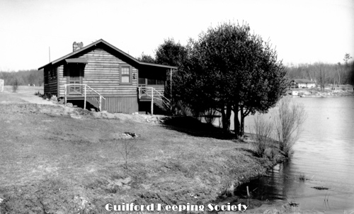
Guilford Lakes, cabin on lake, probably White Birch Drive, cottage looking across lake to club house. SWD 2320.
P-3986.
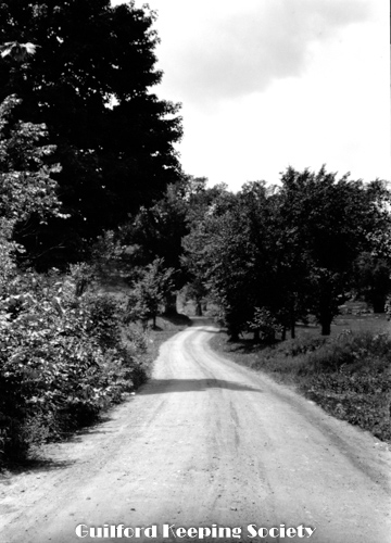
Guilford Lakes, country dirt road probably North Madison promotional pictures for Land & Lake Dev. Co. brochures SWD 2313.
P-3989.
Rolf canning establishment (Rolf Coll) August 1900.
P-3992.
Canning Factory at Boston St prob. 276 Boston St (Rolf Coll) August 1900.
P-3995.
The Old Elm – rear of 330 Clapboard Hill Rd, Abraham Dudley house EDMUND F. DUDLEY neg. EFD23.
P-3998.
Sluice Dock Whitfield St. Rolf (snowstorm) 1934.
P-4001.
Winter shoreline view of ice sound 1934 snowstorm (Rolf Coll.) 1934.
P-4004.
Bloody Cove taken from Sachems Head Hotel 1906. Cantwell Coll.

P-4007.
Sachems Head Hotel 125 Falcon Rd 1906. Cantwell Coll.
P-4010.
Sachems Head Hotel 125 Falcon Rd Martha J. Bowman 1906. Cantwell Coll.
P-4013.
Sachem's head Yacht Club 1906. Cantwell Coll.
P-4016.
Sachems Head 1906. Cantwell Coll.
P-4019.
Sachems Head 1906 on a dock. Cantwell Coll.
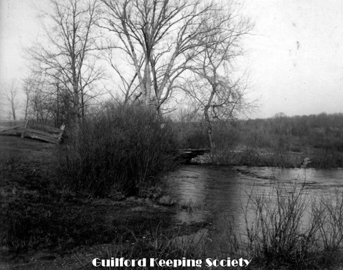
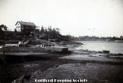
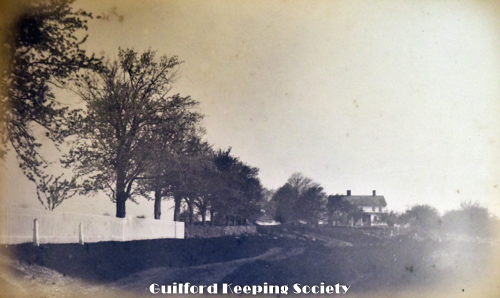
P-3756.
Old East River Bridge, Noah Bartlett House about 1814 Wooden bridge torn down in 1907. House in foreground stood on corner of East River Rd and Boston Post Rd facing on Post Rd House in background is at #35 Boston Post Rd built in 1809. Both houses are on west side of the river. CHARLES D. HUBBARD
P-3759.
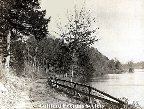
West River from Westside Bridge. Houses in background are on Broad St Pickett fence is on west side of River St CHARLES D HUBBARD Negative CDH 193. Charles Hubbard scrapbook pg 48.
P-3762.
White Top also known as Inner White Top, rock is located off Tuttle’s Point. Owned by Walter Norton and later his daughter Cynthis Norton Eckstrom (until 2014) CHARLES D HUBBARD vol. II. pg 22. Charles Hubbard scrapbook pg 48. Negative CDH 257.
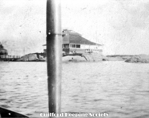
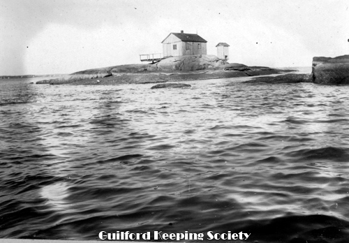
P-3765.
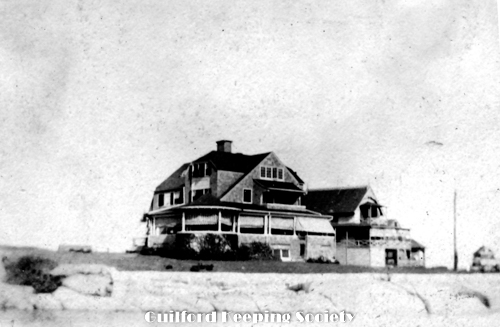
Sachem’s Head Hotel. Second Hotel built 1877 at beginning of Walden Hill Rd east of north end of Horten’s House (1974) Bloody Cove. Burned Sept. 28, 1973, CHARLES D HUBBARD Charles Hubbard scrapbook pg 50.

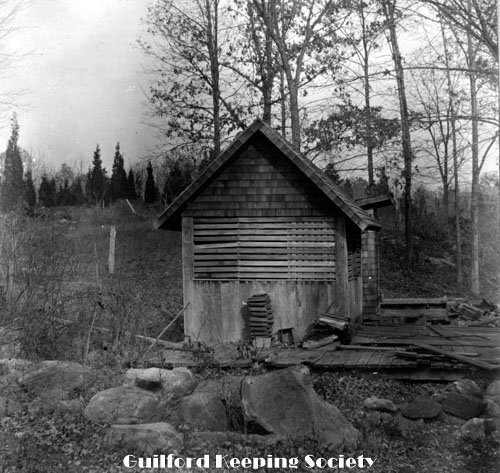
P-3768.
In lot back of Jonathan Starr house on State Street. View behind Kingsnorth-Starr House #138 State St CHARLES D HUBBARD Charles Hubbard scrapbook pg 51.
P-3775.
Lake Quonnipaug. Copy photo. The bar at Lake Quonnipaug Oct. 1885 HARRIET HUNT BRYAN 1 duplicate original is in Harriet Hunt album vol. II. Copy neg PC 295.
P-3822
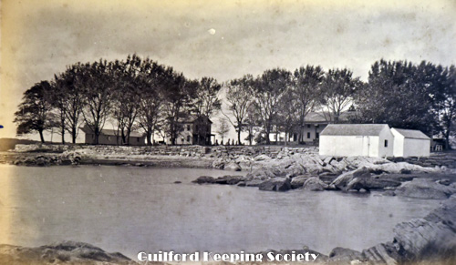
Guilford Point from the rocks, bowling alley on the left, bath houses on the right At the end of Seaside Ave 1884 HARRIET HUNT BRYAN in Harriet Hunt Bryan vol. 2, 1 duplicate.
P-3826
Looking north from Cherry Farm Looking north from John Morse house #172 Moose Hill Rd HARRIET HUNT BRYAN in Harriet Hunt Bryan vol. 2.
P-3829
Old Bay, Leete’s Island 1885 HARRIET HUNT BRYAN in Harriet Hunt Bryan vol. 2,
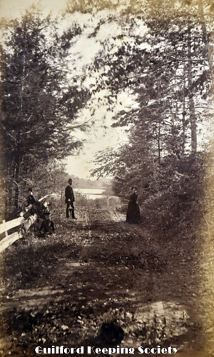
P-3832
Road on the west side of Quonnipaug. A man & three women on Route 77 with Lake Quonnipaug in background HARRIET HUNT BRYAN in Harriet Hunt Bryan vol. 2.
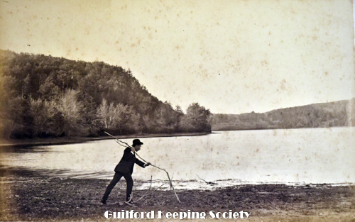
P-3835
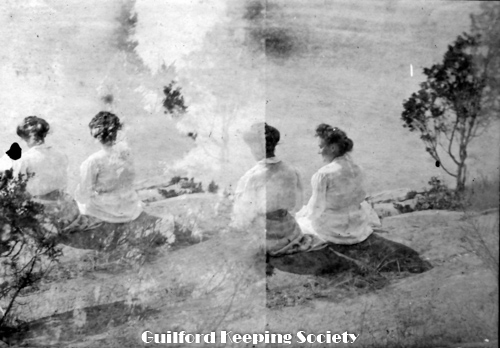
0n the bar at Quinnipaug. Man on the edge of Lake Quonnipaug with stick HARRIET HUNT BRYAN in Harriet Hunt Bryan vol. 2.
P-3838
Looking west from Cedar Point, Leete’s Island, Ct. HARRIET HUNT BRYAN in Harriet Hunt Bryan vol. 2.
P-3841
Scene by the ocean HARRIET HUNT BRYAN in Harriet Hunt Bryan vol. 2.
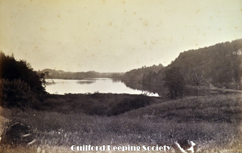
P-3844
Lake Quinnipaug from the south end Oct 1885 HARRIET HUNT BRYAN in Harriet Hunt Bryan vol. 2.
P-3852b.
Looking north on Route 77 Lake Quonnipaug (a similar photo to P3852a). In oversized folder.
P-3967.
Docks on salt marsh. Probably mouth of East River, Grass Island would be on right side (JH) Betty Dunn Collection for Shore Line Times c.1963-1975.
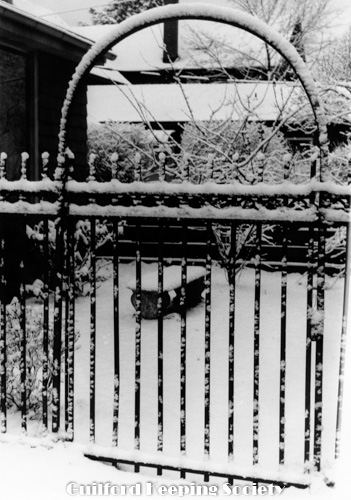
P-3970.
Gate with snow. Betty Dunn Collection for Shore Line Times c.1963-1975.
P-3973.
Wharves on Neck River, Madison with sloop. Betty Dunn Collection for Shore Line Times c.1963-1975.
P-3976.
Sachem’s Head Hotel, Falcon Rd, Bloody Cove, Vineyard Point Rd on right c1940 5x8.
P-3980.
Photo of a woodcut of Bloody Cove Beach and barren Prospect Point. Scene depicted dates to c1850 or c1870-80. Note bath houses for the First hotel and the absence of the Second Hotel built 1877.
P-3984.
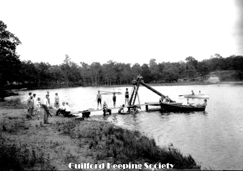
Guilford Lakes swimming area near bridge at First Second Lake. Beach on west side of Middle Lake on Lakeside Drive. North Madison promotional pictures for Land & Lake Dev. Co. brochures. SWD 2319.
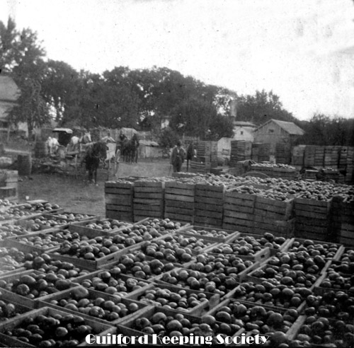
P-3987.
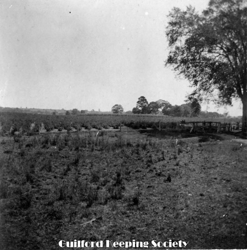
Rolf Gardens-9 acres of tomatoes raised by C.H. Davis, approx. site of Bethel Church (Rolf Coll) August 5, 1900.
P-3990.
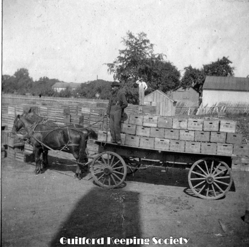
C.H.D initials on canning crates (C.H. Davis) (Rolf Coll) August 1900.
P-3993.
Alderbrook Cemetery Boston St (Hurricane 1938) from Madison Historical Society 11.10.08 Oct 1, 1938, F.L. HENTZ.
P-3996.
South Fair St note empty lot on Post Office site aerial view c1950-1960.
P-3999.
Indian Cove viewed from lawn of Bradley Barnes cottage (now gone) 1934 snowstorm (Rolf Coll.) 1934.
P-4002
Bloody Cove Beach bulkhead fence of upended timbers replaced with stone after 1938 hurricane Fun with sand. Cantwell Coll. Note: The Cantwell Collection of 18 photos of Sachems Head from 1906 were all taken by the family of Mark Knight Bowman and Martha Jackson Bowman of Montclair, New Jersey, who spent the summer
P-4005.
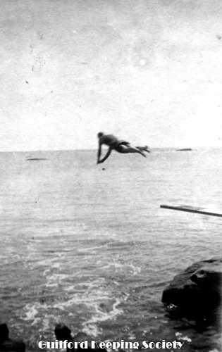
Diving at Sachems Head, prob. Bloody Cove Beach 1906. Cantwell Coll.
P-4008.
Mark Knight Bowman, Martha Bowman maybe on Sachems Head Hotel lawn 1906. Cantwell Coll.
P-4011.
Women on rocks on west side of Bloody Cove Beach (double exposure) Sachems Head 1906. Cantwell Coll.
P-4014.
Loyal Ledge (maybe) 1906. Cantwell Coll.
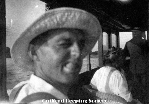
P-4017.
Roy Bowman (presumably) - a selfie. Cantwell Coll.
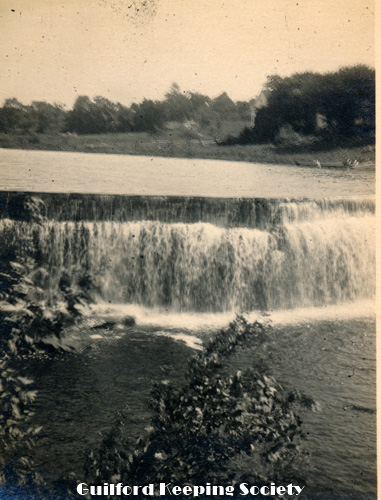
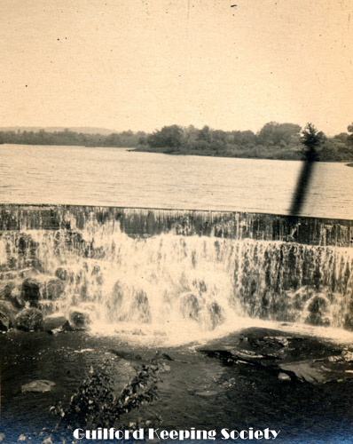
P-4020.
Mill Pond spillway. Negative SWD3460.


